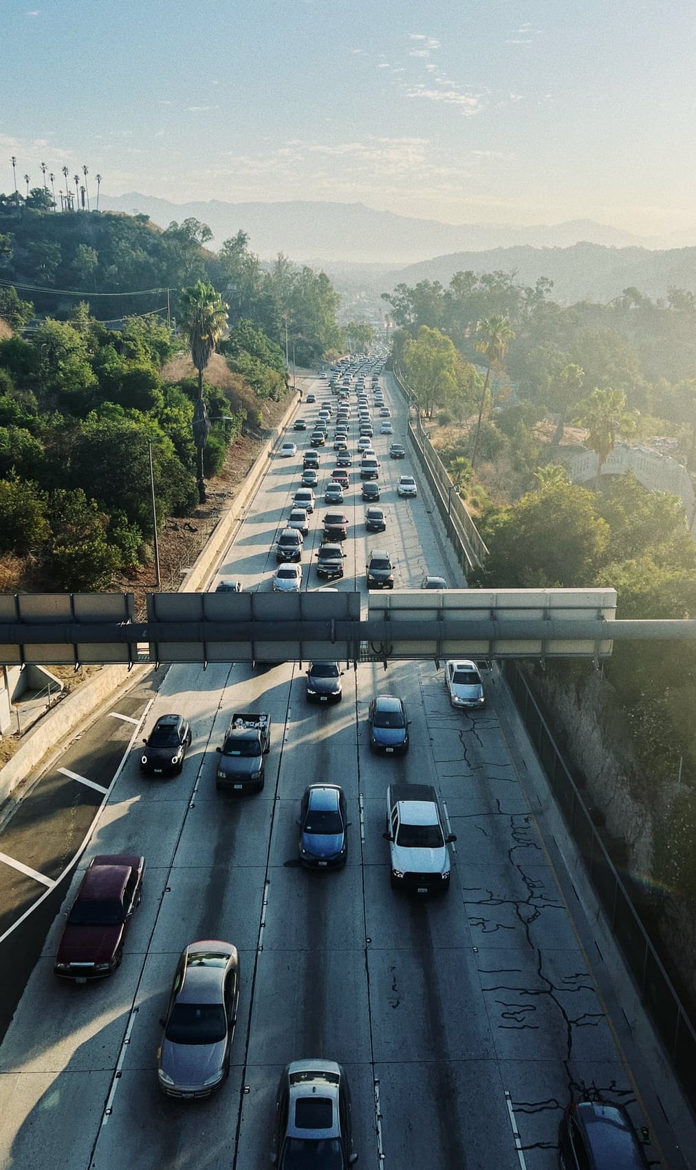
Broadly, the issue with big tech is often not the tech itself, but the human biases at the core of any piece of software, compounded at scale. Take Google’s Waze, for example: once-quiet neighborhoods can become thoroughfares at rush hour because an algorithm looks for the “fastest” route for cars (often only shaving minutes or seconds) while giving little consideration to street design, children at play, or other street uses. These lack of considerations are decisions made (or sometimes decisions arrived at through inaction) on the part of the companies providing these services. And, generally speaking, if any other party has influence in the shape of these technologies, it is only the “direct user”—the group of people who use the app for directions—and not other groups of people also affected by the inbuilt biases and decisions made to shape turn-by-turn directions.
I am baffled by how little influence cities and other urban governing bodies have exerted over mapping apps. In the case of Waze, some cities have begun to work with mapping companies to ease the burden some smaller roads are playing in the grand scheme of city-wide driving, but the involvement of an urban governing body remains largely reactive or defensive. And the apps themselves are largely reactive, by design. The algorithm watches everyone on the road, as traffic builds, and suggests altered routes to new entrants as they initiate their travel. More recently, Apple and Google Maps have begun to offer updated routes in-transit in a sort-of Waze-light fashion, but this is still based on reactive data.
What if cities and mapping companies worked more closely together? A city would know that a road lane will be closed for construction in a few days. What if that information was relayed to all mapping companies ahead of time so that traffic patterns could begin to be adjusted even before the closure? What if upcoming event street closures were given to drivers as an audible reminder? How about bike routes on smaller side streets? Cities could ask that mapping companies keep vehicle traffic away from those routes unless the final destination dictates otherwise. How about lane guidance? A mapping app could prompt drivers to stay out of a bus lane, or institute “slow lane” reminders on roads that mix car, bus, bike, and scooter travel. Turning: an app could remind drivers that right-on-red is not suggested during times of the day when pedestrian traffic is high. When reaching a destination, an app could remind drivers (and passengers) to watch for cyclists in a bike lane—and even route car travelers to a nearby loading/unloading zone that has a lower chance of impeding bike lane travelers or pedestrians.
All of this is part of the data sets that cities (and, likely, the mapping companies) already have. And much of it would be possible to achieve within the existing algorithms and feature sets of current mapping apps. But it requires a mindset switch: mapping apps would still optimize vehicle travel for shortest/fastest distance, but they need to stop doing so at the expense of other road uses.
The compounding scale effect of these efforts would be noticeable. Much of our urban traffic today is at the hands of Uber and Lyft and generally their drivers blindly follow turn-by-turn and lane-by-lane instructions from Google or Apple, often even listening to the audio cues. In big cities like LA, where I live, people who know the roads well still tend to use mapping apps to help them avoid traffic or find the fastest route for a given time of day.

Additionally, cities could affect modal change. They could ask for app defaults to change based on the location and status of the direct user. An app often knows if a device is currently connected to a car’s hands-free system. If it is not, perhaps the mapping mode defaults to transit, or if under a 15 min walk, to walking directions. More data from city transit efforts could prompt mapping apps to finally integrate their routing between bikeshare programs, and bus/rail service. Right now, the friction is in the other direction. Google Maps at least tends to remember the last mode I used (car, bike, walk, or public transit) and they experiment with walk/transit multi-modal trips, but Apple Maps, for example, knows I haven’t driven my car in weeks, but still prompts me with driving directions first (even when I’m visiting New York and standing next to a subway station). The friction should be in the other direction. If we want livable cities (let alone addressing climate goals), we need to stop defaulting to driving.

Would companies like Google and Apple want to embrace these sorts of partnerships? Possibly. I’m cautiously optimistic. Generally speaking, these apps are designed to move humans around efficiently, but within the sets of data that they have access to and the algorithms that have been previously-defined. “Efficiency” can be redesigned and redefined at any time—it is a much more subjective matter than we tend to think. And these companies tend to enjoy ingesting more data and generally seek to add and refine features that make trips better holistically, not simply within a car.
But what if they don’t? We act like technology companies in the realm of driving are a fait accompli. Yet, at the same time, cities are regulating scooter and bikeshare programs within an inch of their viability (if they haven’t already banned them outright). If necessary, let’s apply the same logic to mapping companies. Let’s tell Lyft and Uber that they cannot operate in a city if they do not use a mapping provider that supports an open partnership with a city or county or metropolitan transit agency. Let them put pressure on their mapping vendors. Let’s tell Apple, Google, Microsoft, and others that they cannot operate their mapping/imagery vehicles on our streets without changes to their apps. We tell film companies they cannot film in a city without a permit, we ask delivery trucks to register with a city and follow certain rules, how is this data collection any different? The governing bodies or urban areas—and more importantly their constituents (us)—hold the leverage to the products these companies want to build and the data they want to collect.
The “rules” these mapping apps currently play by are most certainly going to set the tone for how an automated vehicle roams our streets.
Cities, counties, and transit agencies are and will continue be a wealth of new and better data for technology companies, but collectively, we are not getting much in return for the use of those resources. Make no mistake, these mapping apps are a stopgap solution for these companies: part research and part prototyping. All of them (whether public or rumored), have partnerships or their own endeavors in the realm of automated driving. Some or all of these companies will be the providers of these services either directly on the streets with their own self-driving vehicles, or through software licensing in support of self-driving vehicles. The “rules” these mapping apps currently play by are most certainly going to set the tone for how an automated vehicle roams our streets. As urban communities, we do not need to wait for self-driving vehicles to leverage technology and shape vehicle travel in our cities. In fact, if we do, I think it will be too late. We should start now. We will get the city we ask for.